Lydney hulks

Lydney harbour and hulks

Courtesy D Willicott
History
Vessels
Surveys
Photo tour

History

Visitors to the site will be surprised to learn that Lydney Harbour has been a recognised port since the reign of Henry II. That said, the harbour, currently a mile or so from the Lydney town, was originally situated within a stone’s throw of the town’s church served by both the River Severn and the River which gives the town its name, the Lyd or Cannop. Moreover it is known that this inland location saw a thriving shipbuilding industry with several examples of large ships being constructed as early as the 1650s, assisted by both the timbers of the region and the flourishing metal working of the town. Sadly, this industry was short lived due to a massive eastward shift in the course of the Severn’s slow moving waters leading to mass silt deposition and the landlocked town we know today.

C.1780 a canal was constructed by the town’s Iron Masters Pidcock and Homfray who successfully utilised and dredged sections the Lyd, to once more connect the town to Lydney Pill two miles from the town and the open sea. Pidcock’s Canal as the waterway became known, ran from Lydney Forge via Middle Forge and on to Lower or Pill Forge (later Lydney Tinplate Works), a distance of one and a half miles.
It should, however, be noted that the infrastructure did not include a seaward harbour at the time and this only came about as a result of the Severn and Wye Act of 1810, which, in turn, authorised the construction by the then owners, The Severn and Wye Railway Company, of:

A Basin – to include part of Lydney Pill being 760ft long x 105 ft wide,
A 3050ft Canal – From the Basin to the River Severn at Nass Point to include
A lock to an outer harbour,
A pair of tidal gates to hold back the ebbing waters of the Severn.

Unfortunately a distinct lack of finances, led to a postponement of works to construct the outer harbour at this time. 1810 did, however, see the successful construction of the Lydney extension, a distance of one mile, a tidal lock and a single set of sea gates for the sum of £20.000, a tidy sum for the day. This was eventually opened to great fanfare on 17th March 1813 and could thereafter accept vessels up to 100ft x 24ft.
Business being brisk, eventually resulted in the long awaited outer harbour being completed in October of 1821. This was duly served by adjacent tramroads which effectively increased the export tonnage of both coal, whilst importing china clay (1822 to 1846) and salt (1825 to 1848).
It was around this time (1834) that boat building once again returned to the region brought by David Davies who set up a yard and grid iron on the foreshore of the Severn. The last boat being built as late as 1937, by the Gardiner family, who set up shop in the building currently occupied by the modern day yacht club.

Other exports included pig iron, bark, timber and paving stone in over 200 vessels (20 – 400tons) with 1867 seeing over 200,000 tons being handed in a single year.
1894 saw the joint ownership of the harbour pass to G.W.R. and Midland Railway who continued to build on the harbou’rs successes, which in 1897, saw the harbour undergo a major expansion of its rail and transport infrastructure to include sidings, nine coal tips and three cranes handling 265,000 tons that year.

World War I and the early 1920s saw a massive down turn in the region’s coal industry. In 1927 coal tips no’s 1 & 2 lay idle and thus were removed, however, the other seven tips remained on line, relatively busy, albeit, never again to replicate the heyday of the docks.

A glimmer of hope, however, did arrive c.1940 during the second world war in the form of the government backed Pine End Works, employed in the manufacture of aircraft grade plywood, manufactured from imported African logs. This continued until 1977 and resulted in increased maritime traffic from nearby Avonmouth via large strings of barges containing the raw materials. The plant eventually shut its doors to production in 2004.

Post war year depression gripped the region and 1948 saw the Nationalisation of the nation’s railways, thus the little harbour passed to the British Transport Commission and eventually to the British Transport Board.
Sadly, the rot set in quickly, and a further blow beset the dock’s fortunes following the National Coal Board closure, in 1960, of the colliery at Cannop. As such that year saw the MV Yarra tie up at the foot on No. 9 tip in the outer harbour, in order to receive the last ever cargo of black gold to leave forest shores from Lydney port.

With the demise of the forest pits, (Princess Royal 1962, New Norchard & Northern united 1965) the harbour’s coal trade petered out, its rail sidings (1962) and coal hoists were gradually removed. Sadly, very little currently exists to mark the trades passing.

August 1980 saw the harbour being managed by Severn Trent Water Authority who originally intended to develop the site for small craft and as a public amenity. However, upon the privatisation of the water authorities they were absolved of the responsibility and the management of the harbour passed to the Environment Agency.
1980 saw the entire site scheduled as an Ancient Monument, but sadly not before the wholesale destruction of many of the harbour’s once ornate structures and buildings, including the remainder of the coal hoists, their associated turntables, the dock cranes, the shipyards mast loft, the Harbour Master’s house and the small cottages that made up Dock Village.

All the more poignant, as coal shipped from Lydney Harbour became the lifeblood of not just the Forest, but served Newport, Bristol, Bridgwater, Minehead, Ilfracombe, Combe Martin, Bideford, The Channel and Scillies Isles during its busy lifetime of 209 years.

The Hulks at Lydney

Read more about the history of these ladies of the water
Barges – Canal, Honey Street & Wich
Dock lighters
Ketch & Trows
Unknown

Surveys

Lydney Foreshore

Taken from an amalgamation of historical materials including, archival materials, photographic evidence and personal communication records, this schematic diagram details the twenty four vessels known to have been placed on the Lydney foreshore.

Both diagrams may be freely downloaded to assist the visitor during self-guided tour of the site – All we ask is that you enjoy your visit and that you consider using our donation facility on the About page. Thereafter helping the Friends of Purton in their challenge to record and document the Counties rapidly demising maritime heritage.
Thank you in advance.

Readers are advised that this a highly stylised chart of remains and is in not drawn to scale. This should be used in collaboration with the Archaeological Topographic Survey.

Erosion

Frederick William Rowbotham: 8th February 1909 – 10th February 1999

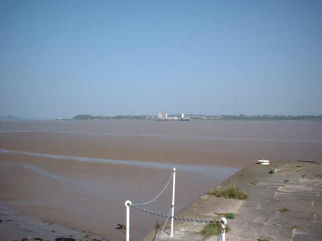
With over forty years in River Engineering, Fred Rowbotham is something of a celebrity in Gloucestershire’s maritime heritage circles. Sadly, I never had the opportunity to meet Fred, or indeed hear one of his many accomplished lectures on the subject of over 220 miles of the River Severn, from its source, 2000ft up on Plynlimon mountain in Mid Wales, along its entire length to the Severn Estuary beyond Avonmouth.

However, despite this, Fred’s love of photography has, in turn, left us a lasting record with over 1300 slides being originally held in archive by his former employer, (from whom I was fortunate to be gifted a copy of the entire collection). More recently the collection has been digitized and stored by Gloucestershire Archives in Alvin Street, and I am continually amazed by the depth of content that they contain.

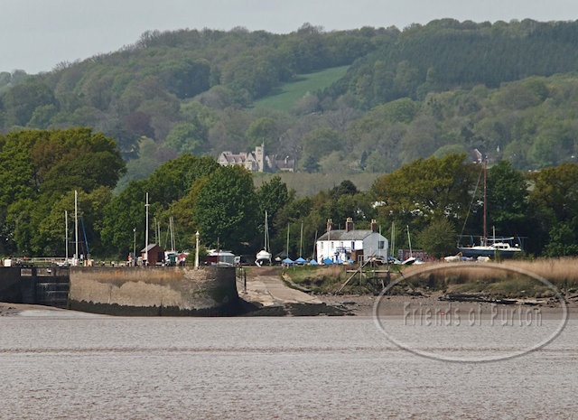
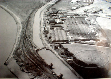
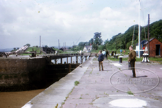
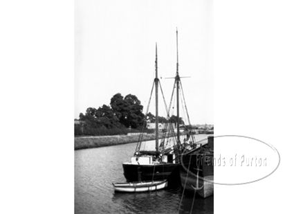
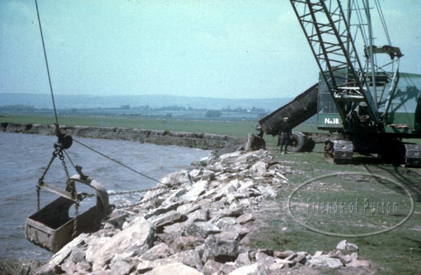
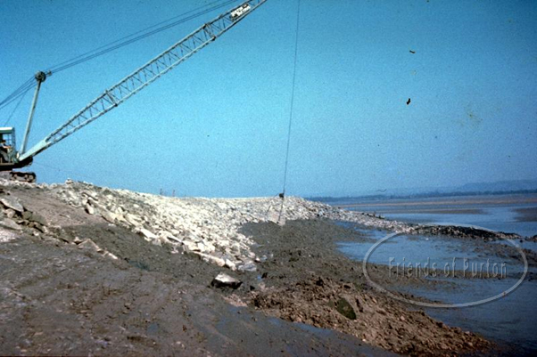
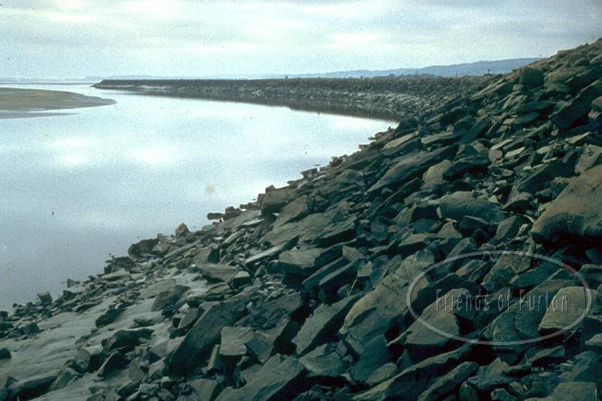
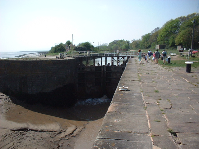
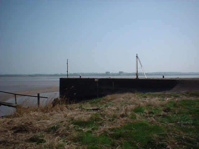
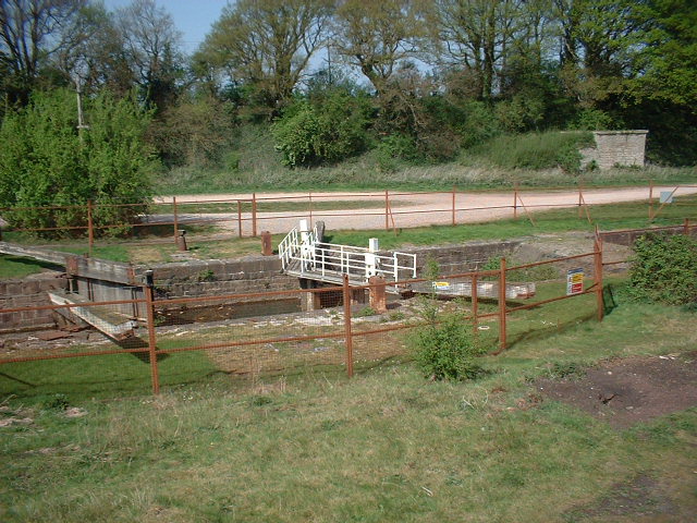
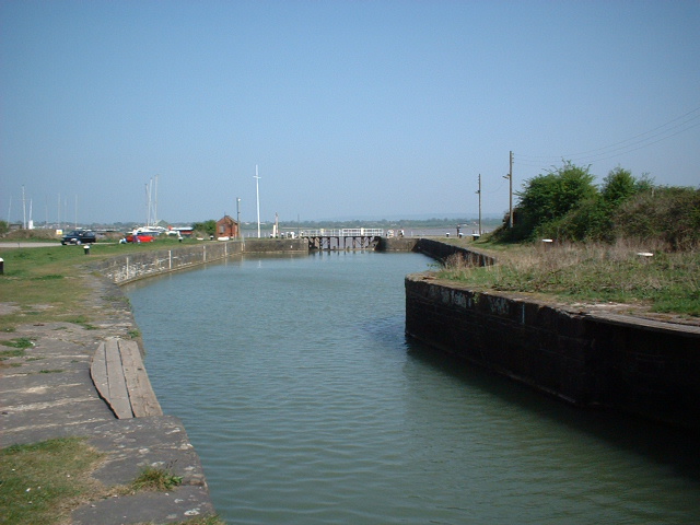
Within this unique collection, we are given a rare glimpse of Fred’s lifelong career as the District Engineer for the Lower Severn District of the Severn River Authority where, amongst other things, he was responsible for land drainage, maintaining the principal tributaries and flood defences – most notably Severn Beach and, of course, Lydney Marsh.

Fred’s work didn’t stop there and he spent various periods assisting in other major river projects including the 1933 proposed barrage, the first spanning of the river with the now famous ribbon of steel and concrete, the M4 Bridge opened 1966, various nuclear power station projects and, of course, the sad demolition of the Severn Railway Bridge further to the unforgettable events of 25th October 1960. It was, therefore, unsurprising that Fred was ideally qualified to discuss the mighty Severn Bore with excellent clarity in his book, The Severn Bore.

1999 was indeed a sad moment in the history of the county’s maritime heritage. Gone, but his wonderful legacy remains as clearly reproduced here via his comprehensive collection of words, pictures and drawings. Thank you Fred!

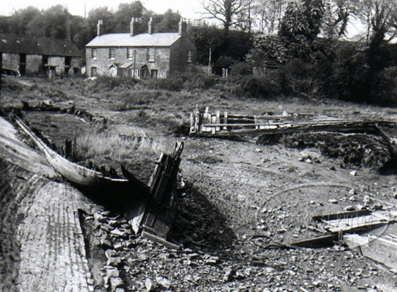
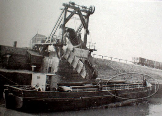
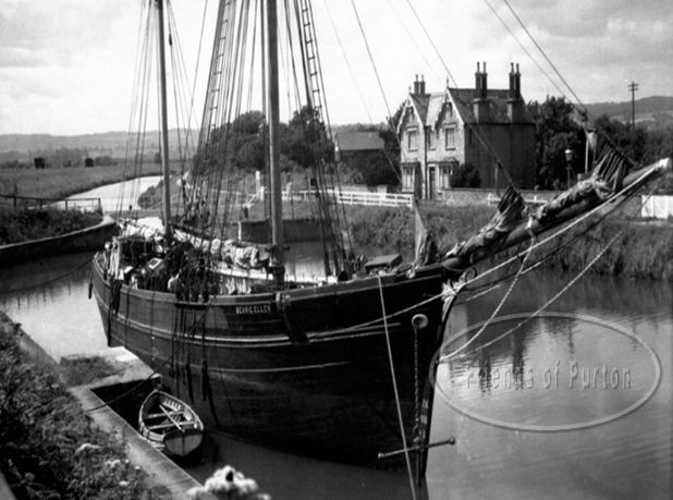
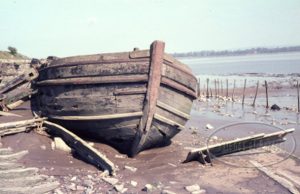
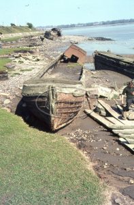
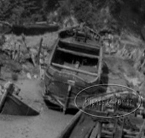
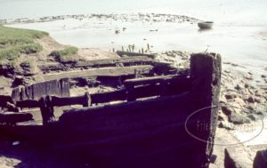
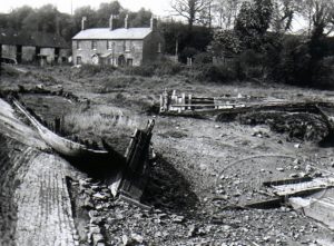
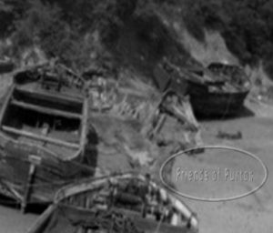
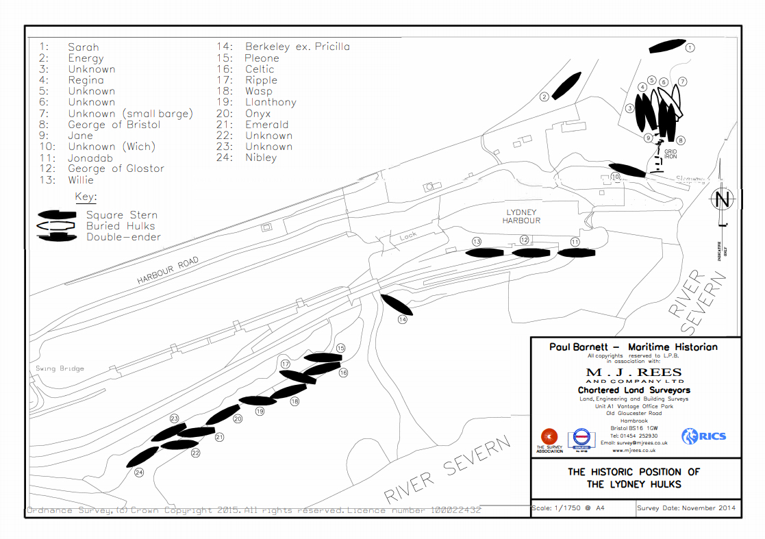
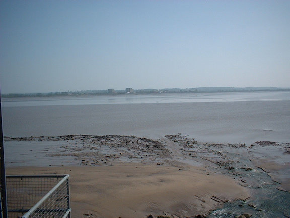
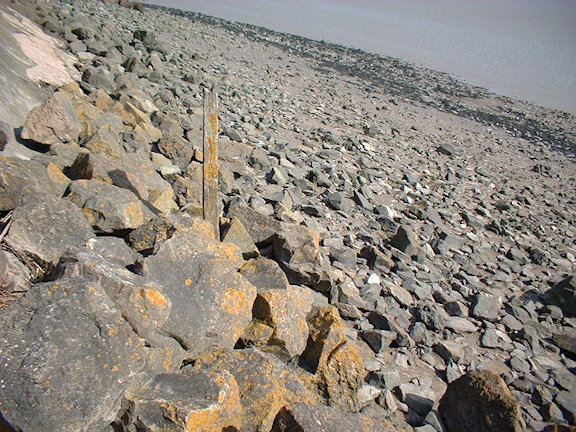
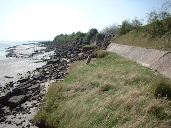
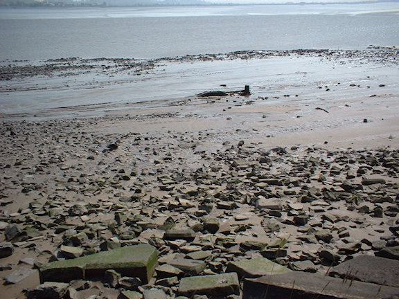
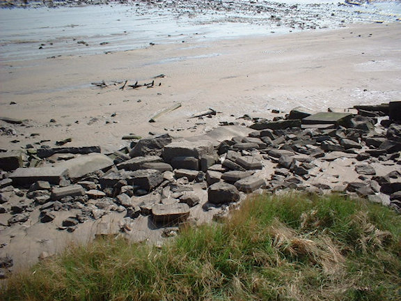
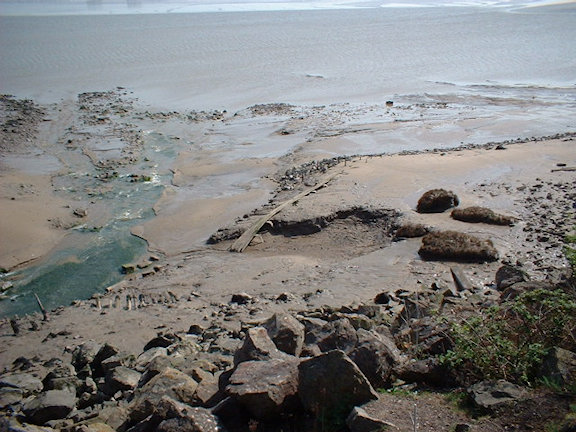
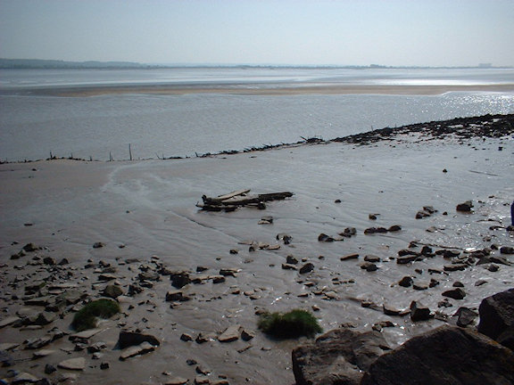
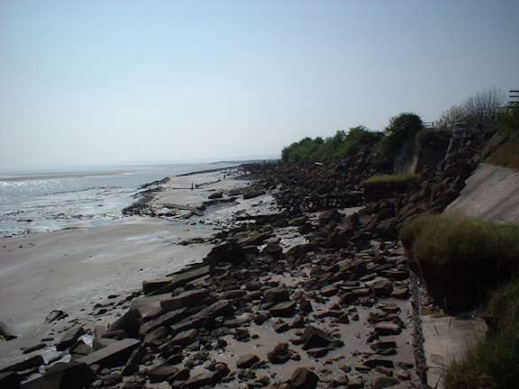
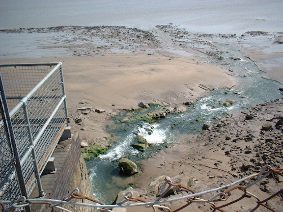
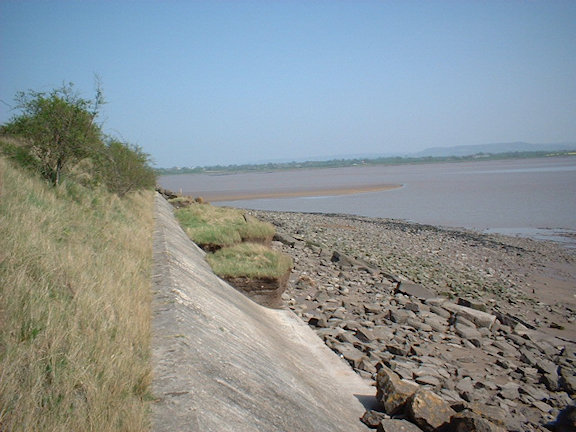
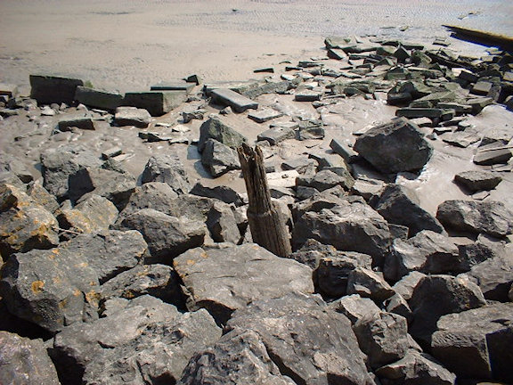
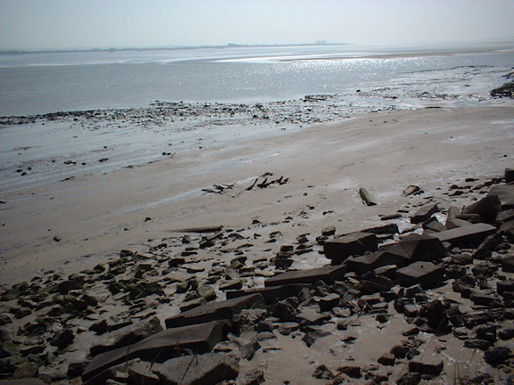
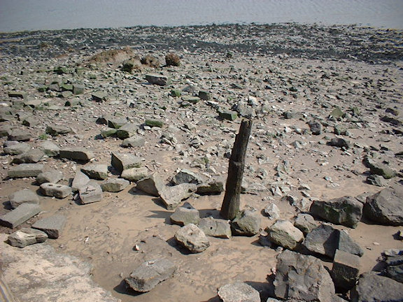
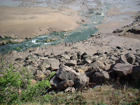
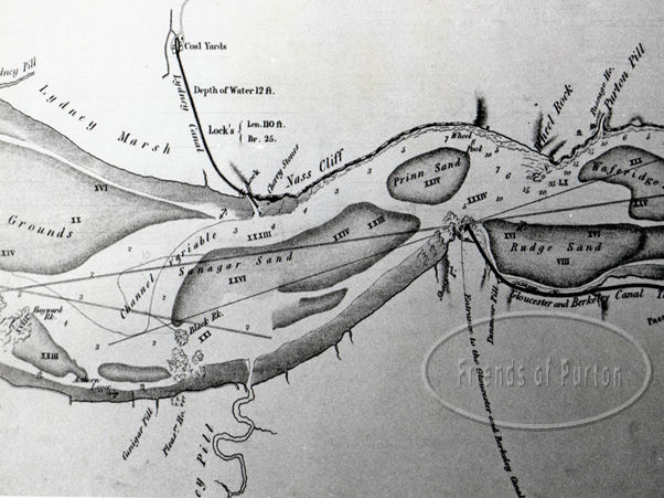
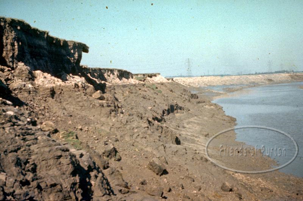
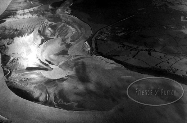
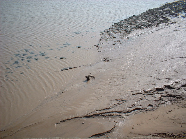
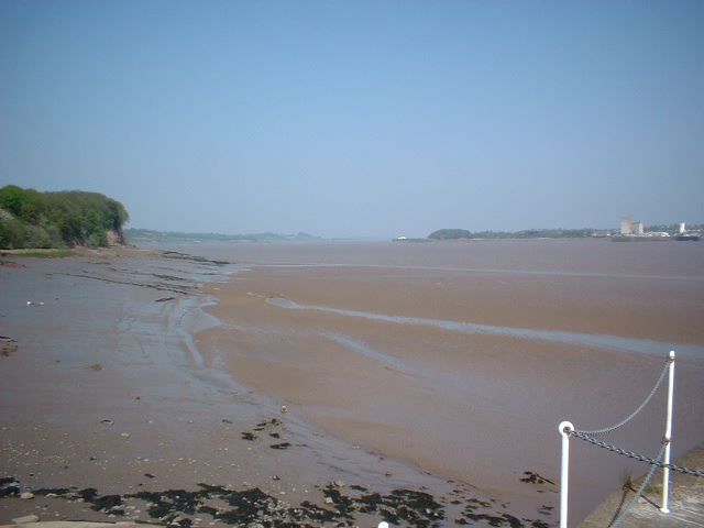
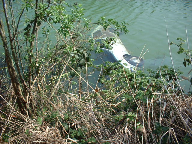
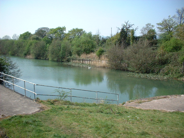
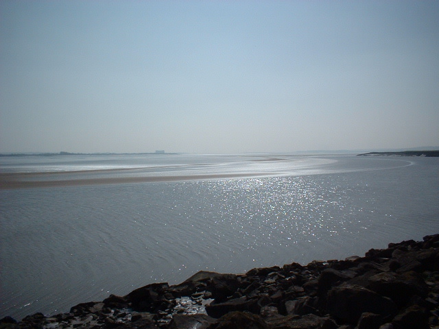
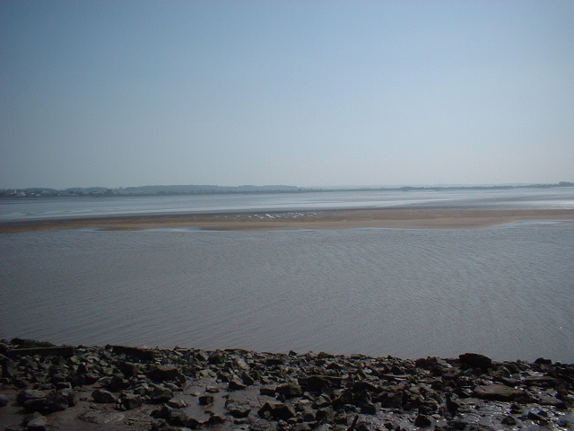
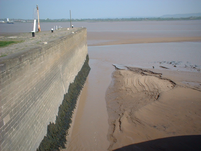
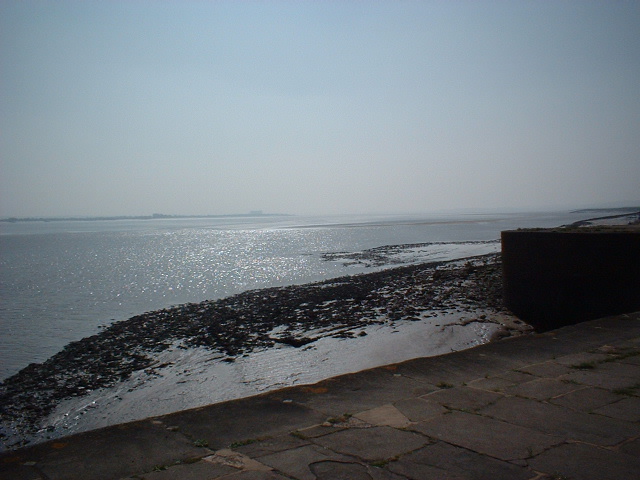
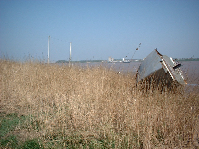
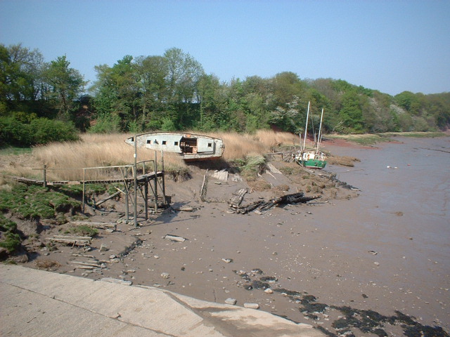
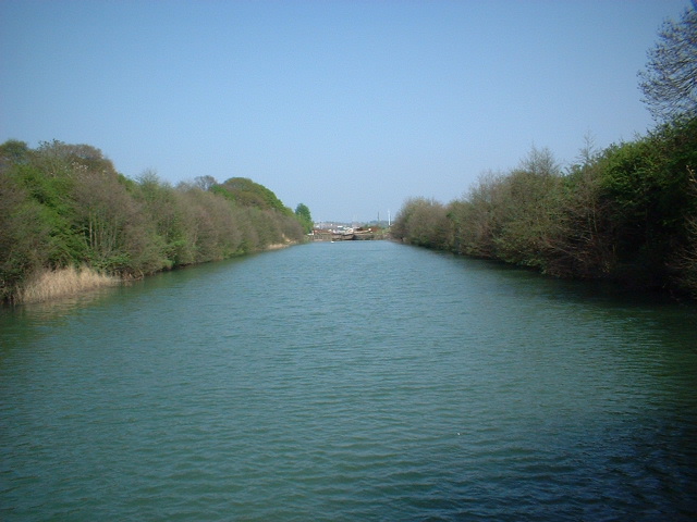
Early maps and charts of Lydney’s harbor and adjacent foreshore show the land immediately downstream of the harbour, is made up of a series of ill defined Pills and streams, running across unconsolidated marshy land to the river edge.

Latterly referred to as the New Grounds, due to its relatively recent deposition, the region was prone to longitudinal river forces of wave refraction and reflection. This is famously exacerbated by the funnelling effect of the Bristol Channel and over 3000 miles of ocean fetch. Once contained by the Severn’s channel these forces manifest into a large tidal ranges (second highest in the world) and under correct environmental conditions, the tidal phenomenon of the Severn’s standing wave “The Bore”. It is hardly any wonder, therefore, that the region encompassing Aylburton and Lydney New Ground, were known to be under regular attack from the force of the Severn itself.

So much so a routine monitoring study commenced in 1921 in order to document the rates of sedimental erosion and silt migration. This being prior to modern mapping techniques, erosion was effectively established by periodically driving hawthorn/willow stakes at the water’s edge and monitoring the margins retreat Evidence for the study can still be seen at low water in the remains of uniform lines of partially eroded wooden stakes, often mistaken for putcher ranks supports. Amazingly, Fred’s excellent geomorphological study of the region survives (see pictures) and clearly demonstrates a real need for bank protection.

Work, therefore, commenced in 1944 at Lydney, however, unlike the Purton Hulks site, these initial efforts took the form of stone revetments which sought to dissipate the river’s energy, by cladding the affected areas in hard wearing rock and boulders as sourced from nearby Forest of Dean quarries. This I believe, was required, principally due to the larger area of land affected and equally, as the much cheaper method of beaching redundant barges was hampered by a distinct lack of redundant vessels at this time. It should, however, be noted Purton foreshore continued to be protected in this way, as can been seen with the successful abandonment of the Britannia and the Monarch by Mr Ken Price in 1944.

And thus it came to pass, that the stone revetment of the frontage of the new grounds at Lydney was commenced to counter the erosion and the threat to the adjacent canal and Pine End Works (required for vital manufacture of plywood for Mosquito fighter bombers). This was jointly carried out by Ministry of Works in conjunction with the then Severn Catchment Board who effectively shored up the eroding banks with blockstone. Thereafter, these defences were to be maintained and extended downstream by the Severn River Board with the Ministry of Agriculture grants.

It should be noted, however, that these early efforts at bank protection were only later in 1954, supplemented with the first recorded beaching of redundant barges, as documented in the recently rediscovered and immensely rare work book entries as detailed by M Watson, the then Lydney Harbour Master, and thus our story begins:

M Watson – Harbour Master notes

April 1840 Agreed to remove the large gate at the lower end of the lock. They become useless
1843 – 44 Outer harbour gate repaired
1845 Oct Inner dock gates reported to be decayed and needed renewal
1850 Board of Customs requested the company erect a house near outer harbour ??? leased out to therefore, their principal offices at Lydney. This was done soon afterwards following the usual haggling over terms.
1852 In the early part of the year, a new swing bridge was erected at the basin.
1859 Salthouse belonging to Salt Co demolished and Cookson Terrace built
1863 G W Keeling recommended renewal of the swing bridge by the customs house.
1870 Nov Agreed to provide new Harbour gates for outer entrance.
1873 Feb Reported that the company had purchased a second hand steam crane for the use of the coal in old harbour works ?? to pay for it by instalments.
1873 May SC was installed at wharfage the NE corner of the tidal basin.
1873 Dec Agreed to purchase an additional siding to the SE Coal tips at the basin.
1874 Nov Agreed to purchase Mr Wythers crane on canal for £65
1878 July G.W.R requested facilities for taking loco water from S & W canal . The S & W Co. agreed at a nominal sum of £1 for extraction
1881 Additional sidings provided as lower basin
1884 Rebuilding of (??) at lower dock commenced
1886 A coal tip rebuilt
1889 Repairs to lock under sluice gates completed by February.
1890 April tender accepted for new coal shoot
1892 two mud barges built
1892 April additional sidings being laid to coal tip at lower basin to facilitate the loading of steamers
1893 Harbour Masters house at Lydney completed, Keeling addressed the need to rebuild and improve the viaduct leading to a coal tip at the harbour
1911 The cranes (Thomas Cramers) weighing machine sold
1927 Coal tips No 1 & 2 dismantled, new gates. Lock out of commission since 1940 (official) No 5 tip removed. Last used 1935
1952 Dec Sluice gates repaired.
1953 June No 1 Swing Bridge repaired
1953 July New harbour gates fitted
1953 July New mast fitted pier head
1953 July Blackee ?? light fitted
1953 commenced Aug No 9 company road re-laid
1953 commenced Aug No 8 company road re-laid
1953 Oct British Transport Commission
1953 6 – 7 – 8 Dec upper lock gates grabbed clear by Iron Duke
1954 Feb New winches (purchased)
1954 March Canal bank below harbour house “pill driven made up”
1954 8 – 9 – 10 April dredging plant from Sharpness arrives
1954 12th April Commenced dredging lower basin
1954 3 – 4 – 5 May Barges put into position on river front to prevent further erosion
1954 5th May Dredging completed abreast railway crossing river
1954 12th May Dredger left
1954 June Barges placed on river bank, work party Gardner, Watkins, Smith Vine & Prosser.
1954 Aug Barges placed on river bank work party Gardner, Watkins, Smith & Vine.
1954 Sept Two old mud barges placed on river bank work party Gardner, Watkins, Smith & Vine.
1954 Oct New winches fitted
1954 Oct No 7 tip most of relayed
20-10-54 Broken casting from under beam North Gate found when swinging (This is part of casting holding top cup in heel port. Engineers consider it is quiet safe to continue working the gate.
Bottom Stakes 12.6
Top stakes 17.0
(* please note Mr Watson’s handwriting was both faint and indistinct in places thus the above transcript is in places a best estimation)

Mr Saunders British Rail Operative - Retired 1983 84 born 22.06.18 Date of Interview 15.06.03

Mr Saunders recalls that various vessels were filled with stone and deliberately beached on the foreshore at Lydney to prevent erosion and recalls that they may have been sunk during the war. However, he also recalls that two or more were sunk upon his return from active war service which he served in the Far East. Mr Saunders also identified the vessels Nibley, Wasp. Hannah* and Jonadab as being beached on the foreshore at Lydney. He also recalls that a barge was placed on the foreshore in 1954.

(LPB* Hannah is known to have come to grief on Lundy Island and thus is not at Lydney)


Aerial view of River Severn following completion of revetment works 20.09.1967
Harbour Photo Tour